WALKS FOR THE WHOLE FAMILY AND ACTIVE HIKERS

Hiking trip with the family

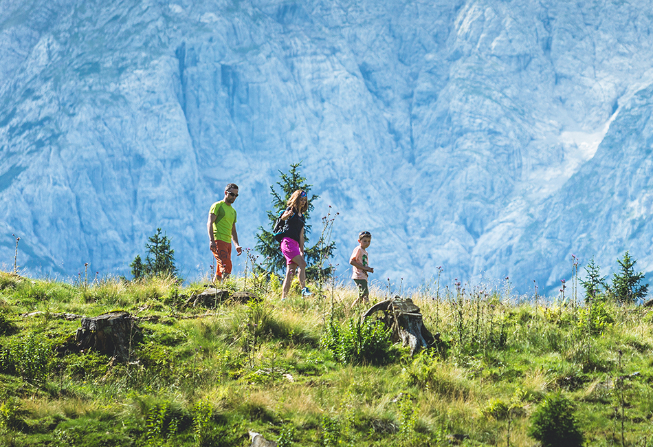
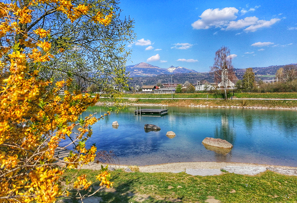
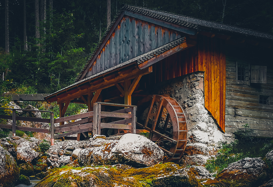
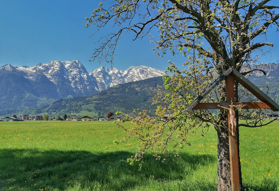
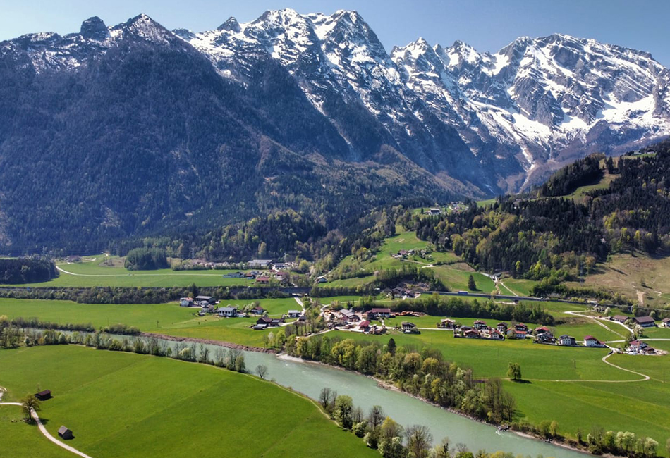
The area around Kuchl is a hikers’ paradise, with a host of options from simple walks along the pilgrim trail to alpine mountaineering.

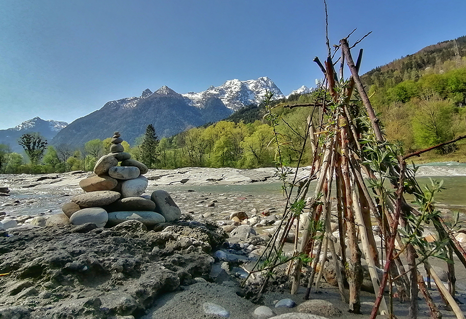
The hikes in Kuchl lead you through rolling alpine meadows and fragrant forests and by gently flowing mountain streams. Recharge your batteries in the pure, fresh air, and enjoy fabulous days out hiking amid the Salzburg mountain landscape. In the Tennengau hiking map and hiking book, you will find numerous route suggestions and tips for your hiking break in Kuchl near Salzburg - get your copy from the Kuchl Tourism Association!

ADVENTURE & GOURMET TOURING MAP

In the interactive hiking map of the gourmet and activity-filled region of Tennengau, you will find the right tour for every taste: hikes from easy to hard, pilgrim and themed trails, mountain treks and mountain biking routes

LAUNCH THE INTERACTIVE HIKING MAP

Bürgerausee Kuchl in autumn

Gurrer mill, Schwarzenbach waterfall

Göll massif mountain scenery

TOP HIKING TIPS IN KUCHL

Discover a host of different options, from leisurely family strolls to challenging circular hikes. We have put together some top tips for you here.

  • Georgenberg
    Georgenberg is a little natural paradise in the heart of Kuchl. Adults and children alike will find lots to discover on and around this “inselberg”, from the daughter church of St Georg and the caverns to forest paths. Leisurely footpaths lead you up and around the mountain. Enjoy the great views of Kuchl and the Göll massif here. Ideally, you can park in one of the car parks near the Bürgerausee and enjoy the unspoilt landscape and the vast expanse of the Salzach valley on your way to Georgenberg.

  • Bürgerausee
    A leisurely, pushchair-friendly walk around the Bürgerausee is also suitable for little hikers. The trail around the bathing lake is just under 1.5 km long. The big playground on the north shore of the lake and the Kneipp therapy area on the south shore ensure fun and variety.

  • Nesslangeralm
    In a gorgeous spot at the foot of the Rossfeld, Nesslangeralm can be reached in 2 different ways: Variant 1: Starting at Hochschaufler via route no. 100 (walking time around 1.5 hours, medium difficulty) Variant 2: Starting at the Salzach bridge in the town via hiking trail no. 21 and the former alpine path no. 451a (walking time around 2.5 hours, medium difficulty)

  • Purtschellerhaus alpine hut
    A great tour to the foot of the Hoher Göll for keen hikers! From the town centre (Salzach bridge car park) via Gasteig (trail no. 20) to Schwalberbauer farm. From here, the ascent is occasionally very steep, passing through Dürrfeichtenalm and Eckersattel to the Purtschellerhaus alpine hut. (Walking time around 3.5 hours, medium difficulty) Variant: Drive along the Rossfeld scenic road (toll road) to Ahornkaser and walk from there to the Purtschellerhaus alpine hut in approx 1.5 hours.

  • Salzalpensteig
    Covering 230 km and with 18 stages, the Salzalpensteig premium long-distance hiking trail runs from Prien am Chiemsee to Hallstatt. Day trips allow for an even more enhanced hiking experience. The Kuchl day trip leads from the town centre via the Schleier waterfall and the Truckenthannalm alpine hut to Nesslangeralm and back to the starting point. Further information is available from the Kuchl Tourism Association and at the Salzalpensteig itself!

Göll massif in Kuchl

Salzach in Kuchl

Georgenberg cave Kuchl

Hiking trails through Kuchl

KUCHL HIKING MAP

Browse the Kuchl hiking map and discover your next hiking destination!

DISCOVER NOW


You've packed your hiking boots, but are you still looking for the right place to stay?
Send us a non-binding request oder sehen Sie sich here! alle Unterkünfte an!